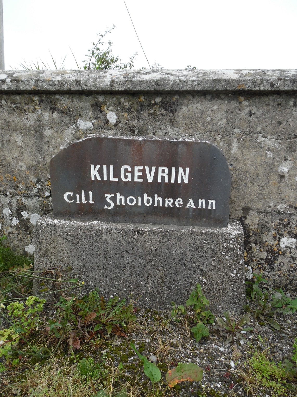
Kilgevrin Monuments
Pauline Connolly

Monuments in Kilgevrin
There were 3 ringforts and 1 enclosure identified on the national monuments service map.
The 1st ringfort is located in undulating grassland overlooking bog land to the East.[1]
The 2nd ringfort is situated on a rise in level grassland. It is a poorly preserved subcircular rath defined by 2 banks and an intervening fosse.[2]
The 3rd ringfort is situated in undulating grassland on the east bank of the River Clare. It is a poorly preserved subcircular rath defined by a bank.[3]
A poorly preserved sub rectangular enclosure is situated on the summit of a hillock. It is defined on the east and south sides by an earthen bank and by a scrap along the north side.[4]
[1] GA016-069—- (Archaeological Survey of Ireland, Record Details). http://www.archaeology.ie compiled by Olive Alcock, Kathy de hÓra and Paul Gosling. Uploaded 05th August 2010 (11th June 2014)
[2] GA016-070—- (Archaeological Survey of Ireland, Record Details). http://www.archaeology.ie compiled by Olive Alcock, Kathy de hÓra and Paul Gosling. Uploaded 05th August 2010 (11th June 2014)
[3] GA016-071—(Archaeological Survey of Ireland, Record Details’) on http://www.archaeology.ie Compiled by Olive Alcock, Kathy de hÓra and Paul Gosling. Uploaded 05th August 2010 (11th June 2014)
[4] GA016-72—- (Archaeological Survey of Ireland, Record Details). http://www.archaeology.ie compiled by Olive Alcock, Kathy de hÓra and Paul Gosling. Uploaded 05th August 2010 (11th June 2014)


No Comments
Add a comment about this page